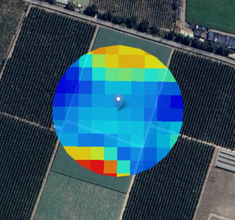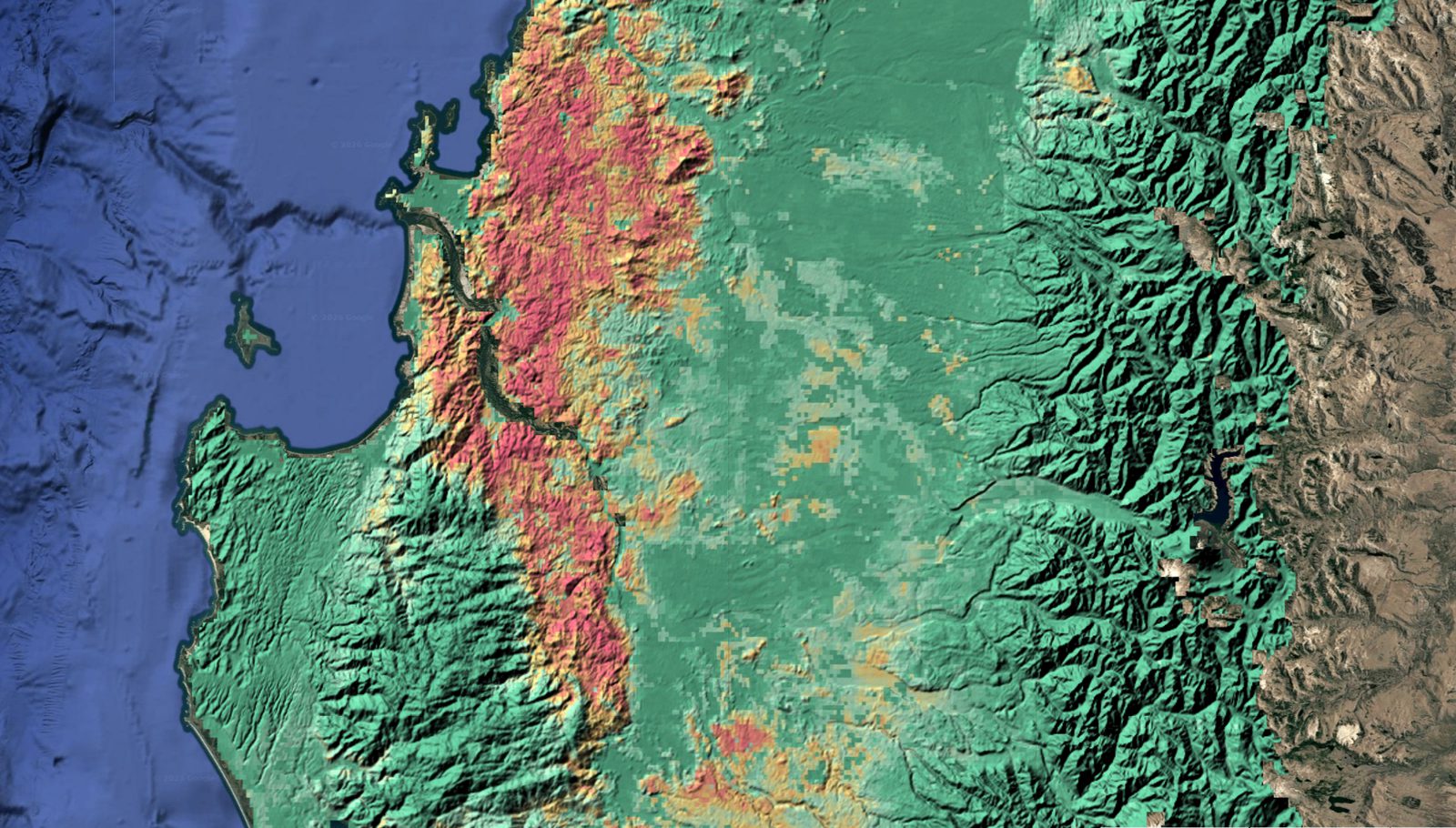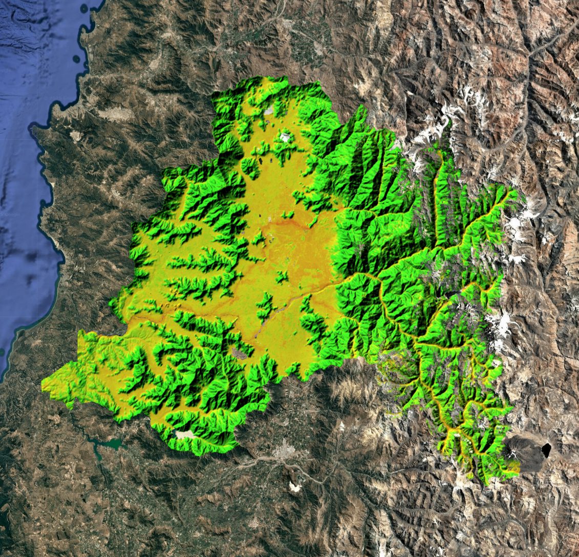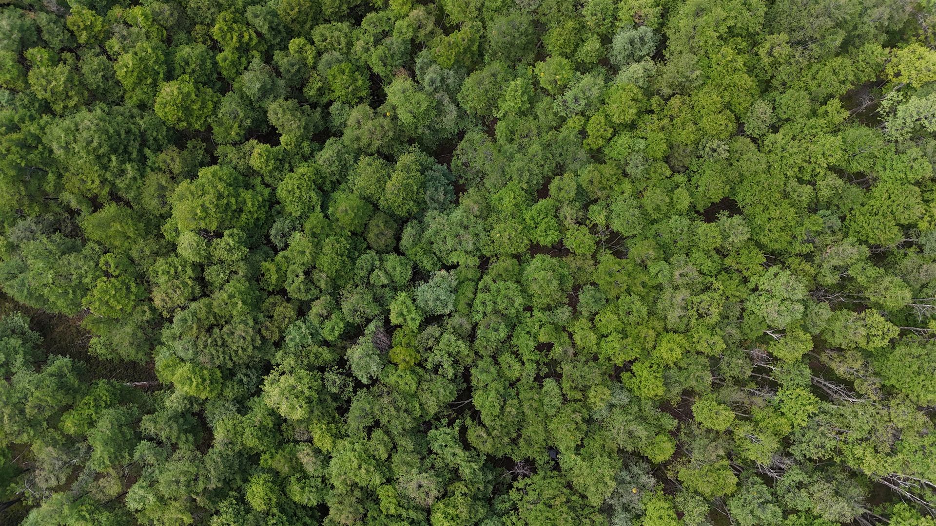
Satellite imagery
- Before
- Downloading and processing images by hand every time a study needs updating.
- With Boreal Austral
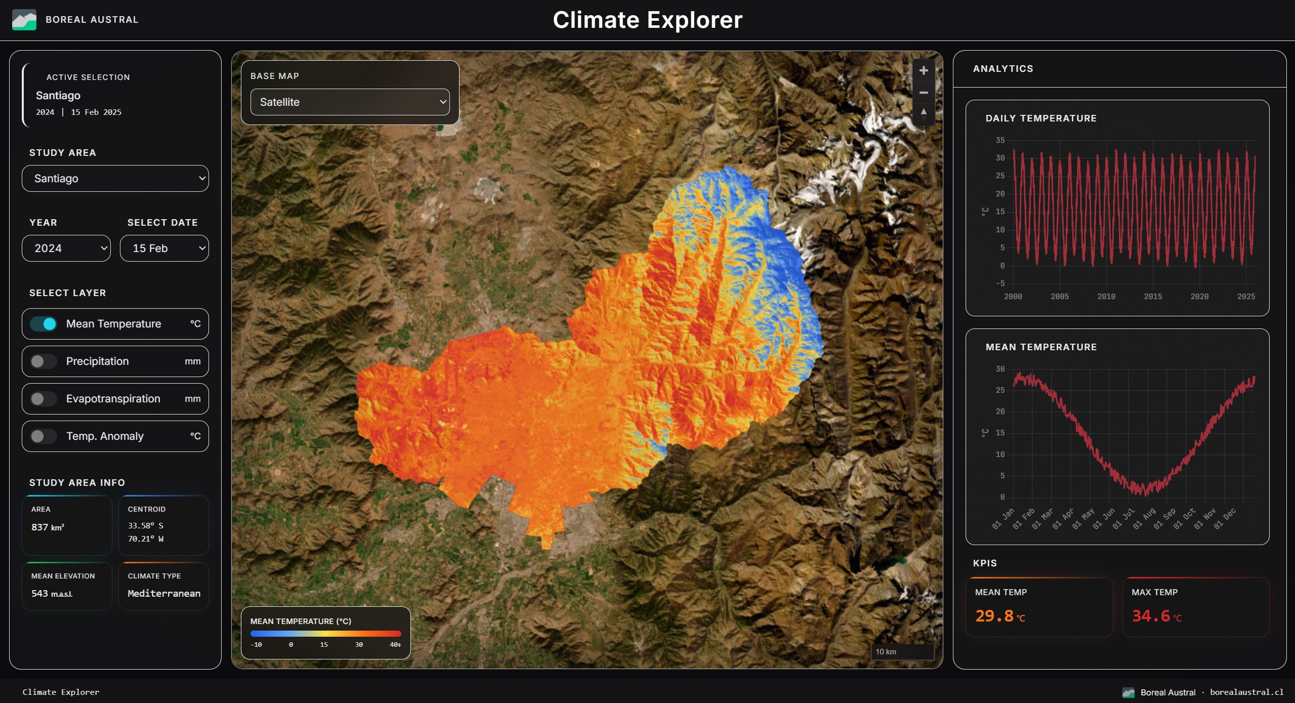
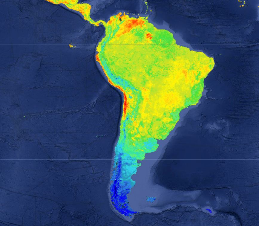
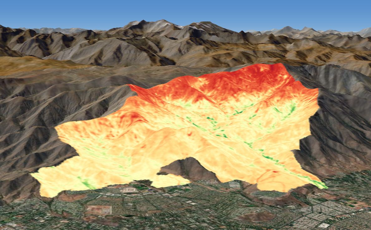
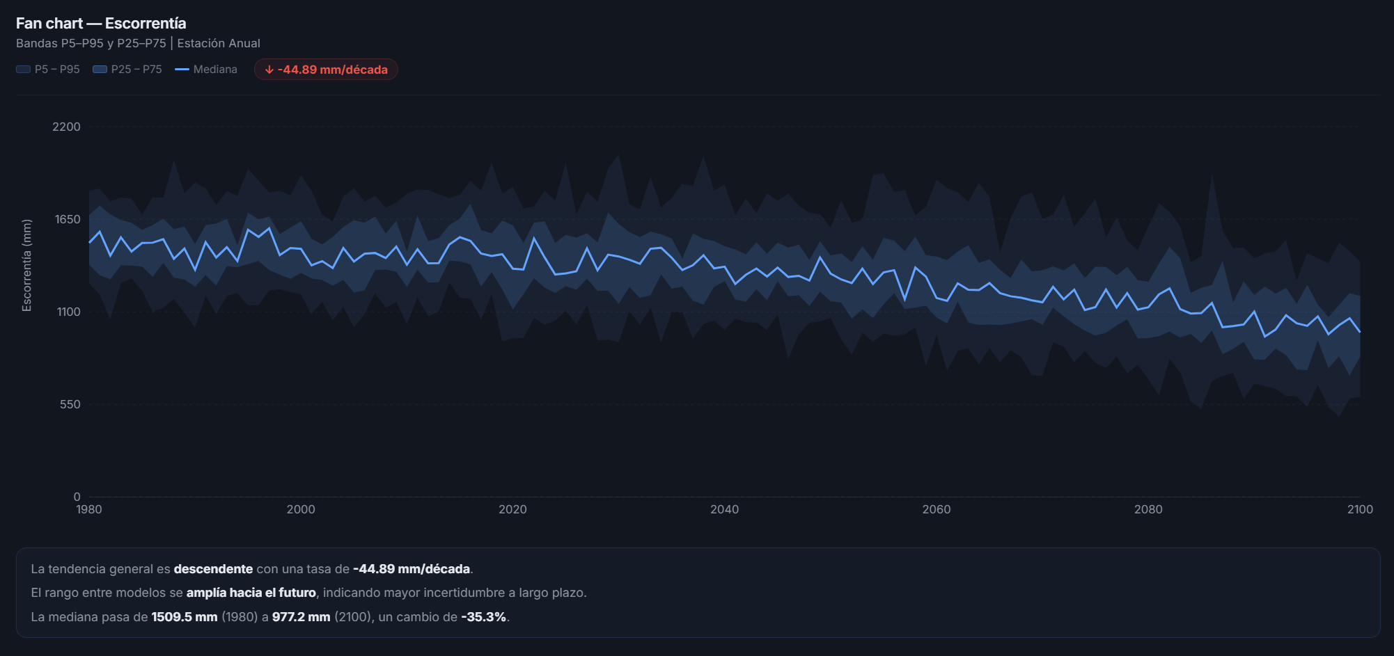
- An automated workflow retrieves the data, calculates the indicators and updates your database.
Fewer repetitive hours, consistent results.