Aurora App-Center is a free platform made up of web applications and interactive viewers built with Google Earth Engine, designed for spatial ecosystem analysis.
The web applications process satellite imagery and transform large volumes of complex data into clear, usable information, addressing challenges in natural resource management and environmental monitoring.
The interactive viewers display the results of spatial models through dynamic visualizations, making it easier to understand environmental phenomena and supporting informed decision-making.
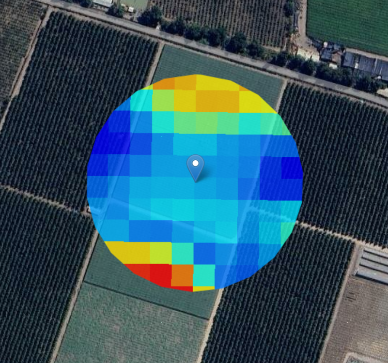
Enables the extraction of NDVI and LST data from Landsat-8. Then, ChatGPT automatically generates an analysis of the retrieved data.
Go to the App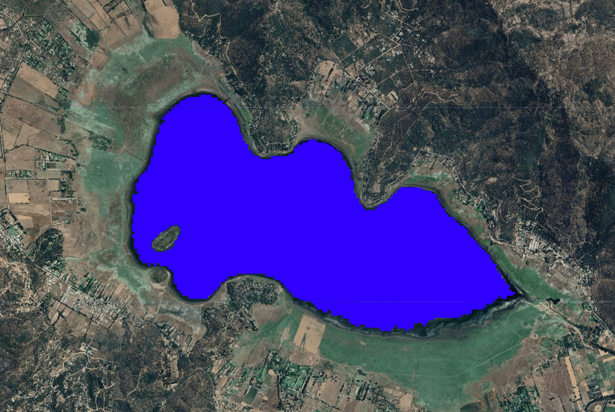
Enables the extraction of surface water extent data from Landsat 5, 7 and 8 satellite imagery
Go to the App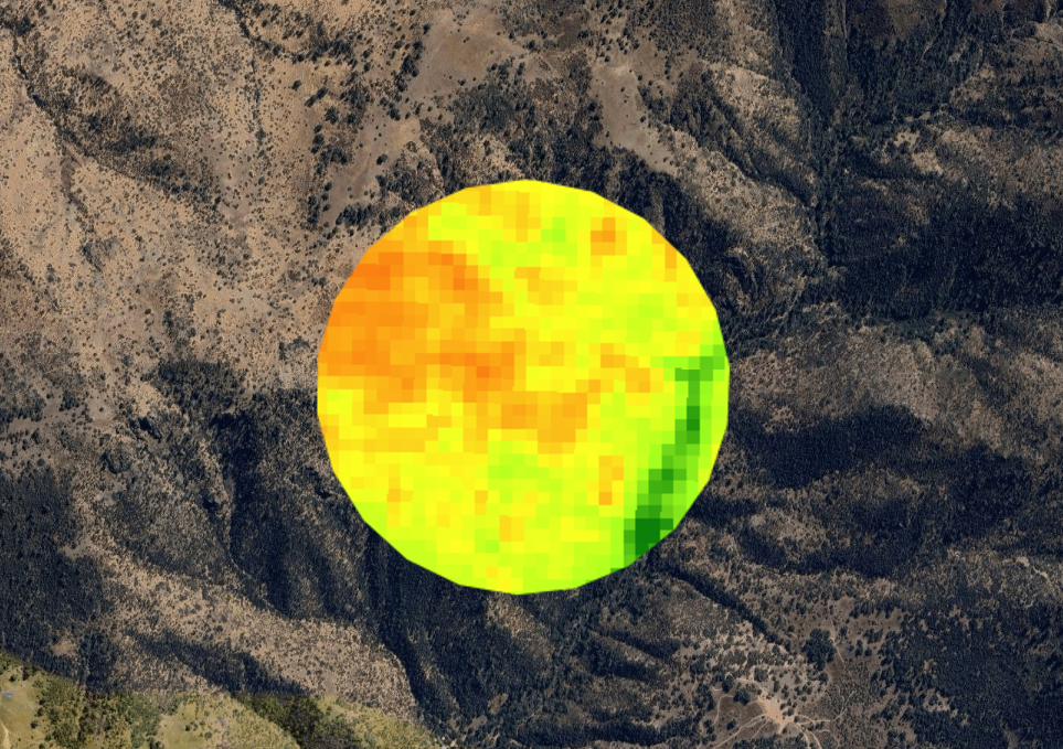
Enables the extraction of vegetation indices (NDVI, EVI, and SAVI) from Landsat satellite imagery
Go to the App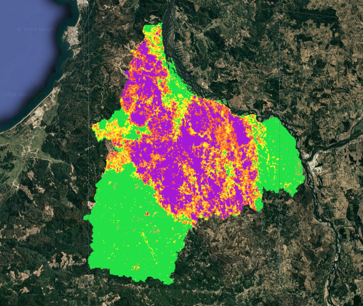
Enables the assessment of wildfire severity based on Landsat-8 and Sentinel-2 satellite imagery
Go to the App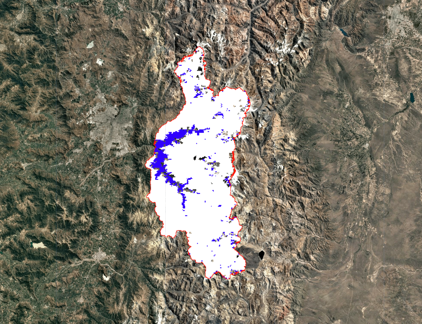
Enables the retrieval of snow cover extent data from MODIS satellite imagery
Go to the App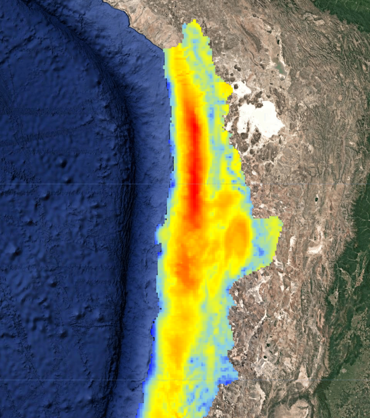
Enables the retrieval of annual and daily potential evapotranspiration data across the entire Chilean territory
Go to the App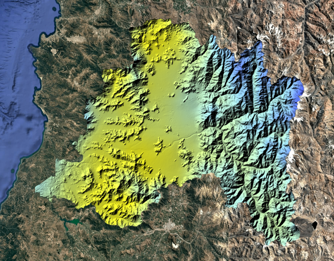
Enables the retrieval of monthly SPEI data for Chile's Metropolitan Region
Go to the App
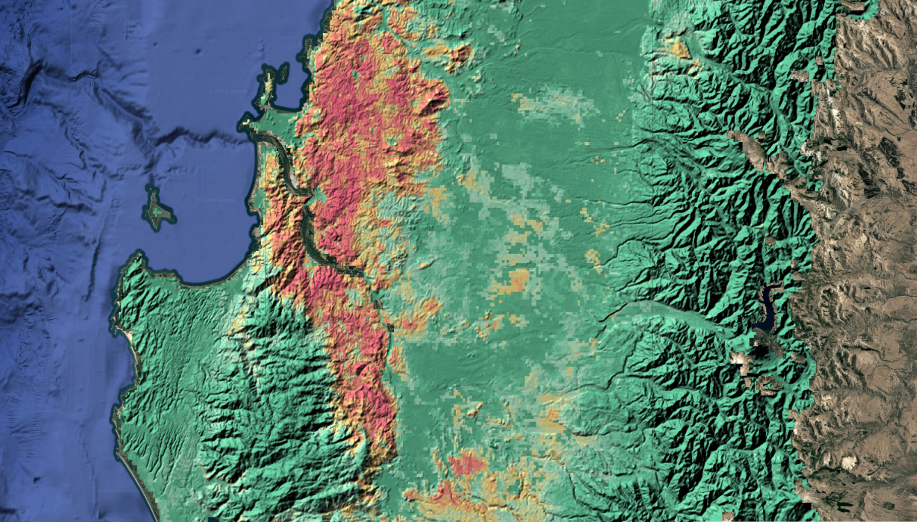
Spatial prediction of wildfire susceptibility areas, based on fire occurrence records from 2000 to 2023. The model has a spatial resolution of 1 km
Go to the Viewer
Spatial prediction of soil organic carbon (%) based on field measurements collected between 2000 and 2020. The model has a spatial resolution of 1 km
Go to the Viewer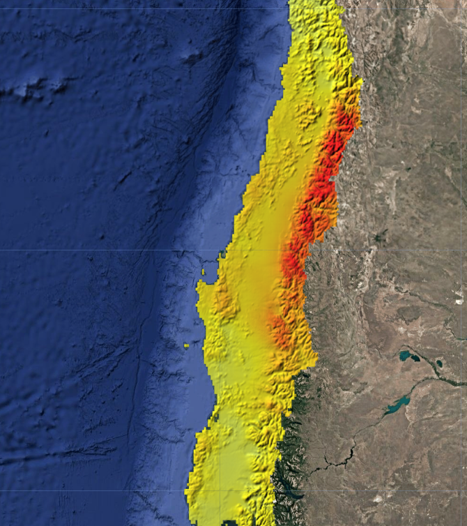
Trend analysis of annual accumulated precipitation across Chile from 1979 to 2019. Spatial resolution: 5 km
Go to the Viewer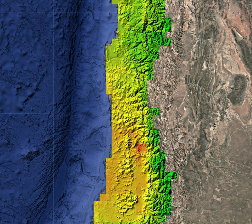
Current and projected spatial distribution of climatically suitable habitats for Aedes aegypti, the mosquito vector of diseases such as dengue, Zika, and yellow fever. Spatial resolution: 1 km
Go to the Viewer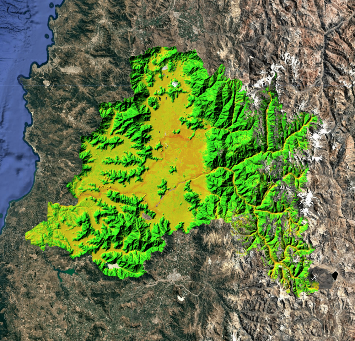
Flood susceptibility index for Chile's Metropolitan Region at 30-meter resolution. Combines topographic, climatic, vegetation, and infiltration variables
Go to the Viewer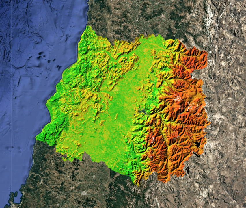
Water erosion susceptibility index for Chile's Maule Region, based on 2021 data and a 30 m spatial resolution. Derived from the RUSLE model
Go to the Viewer