
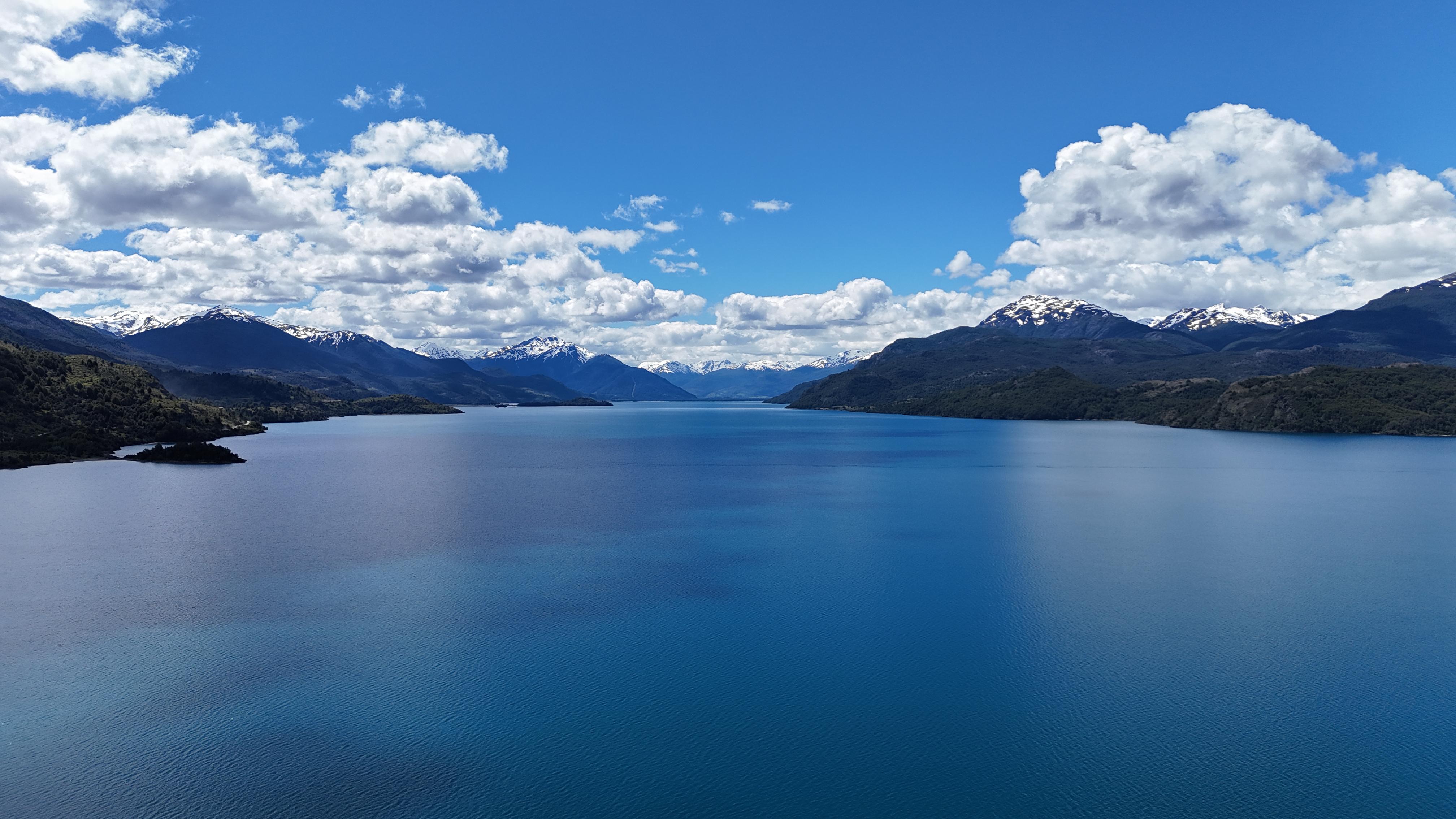
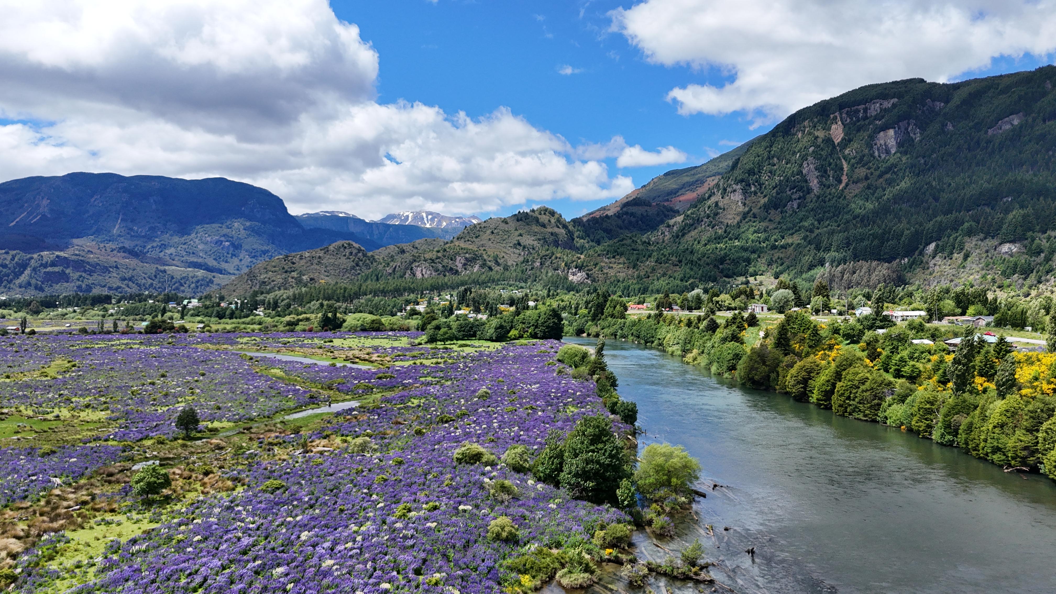
We build fast, intuitive web applications that transform complex geospatial data into interactive visualizations accessible from any browser.
These tools are designed to automate slow and repetitive processes, optimizing your time, reducing operational costs and facilitating evidence-based decision-making.
Every app we build is fully tailored to your organization's specific needs. You choose which indicators to calculate, how to visualize the data, and which features to include. We don't use templates: every solution is unique.
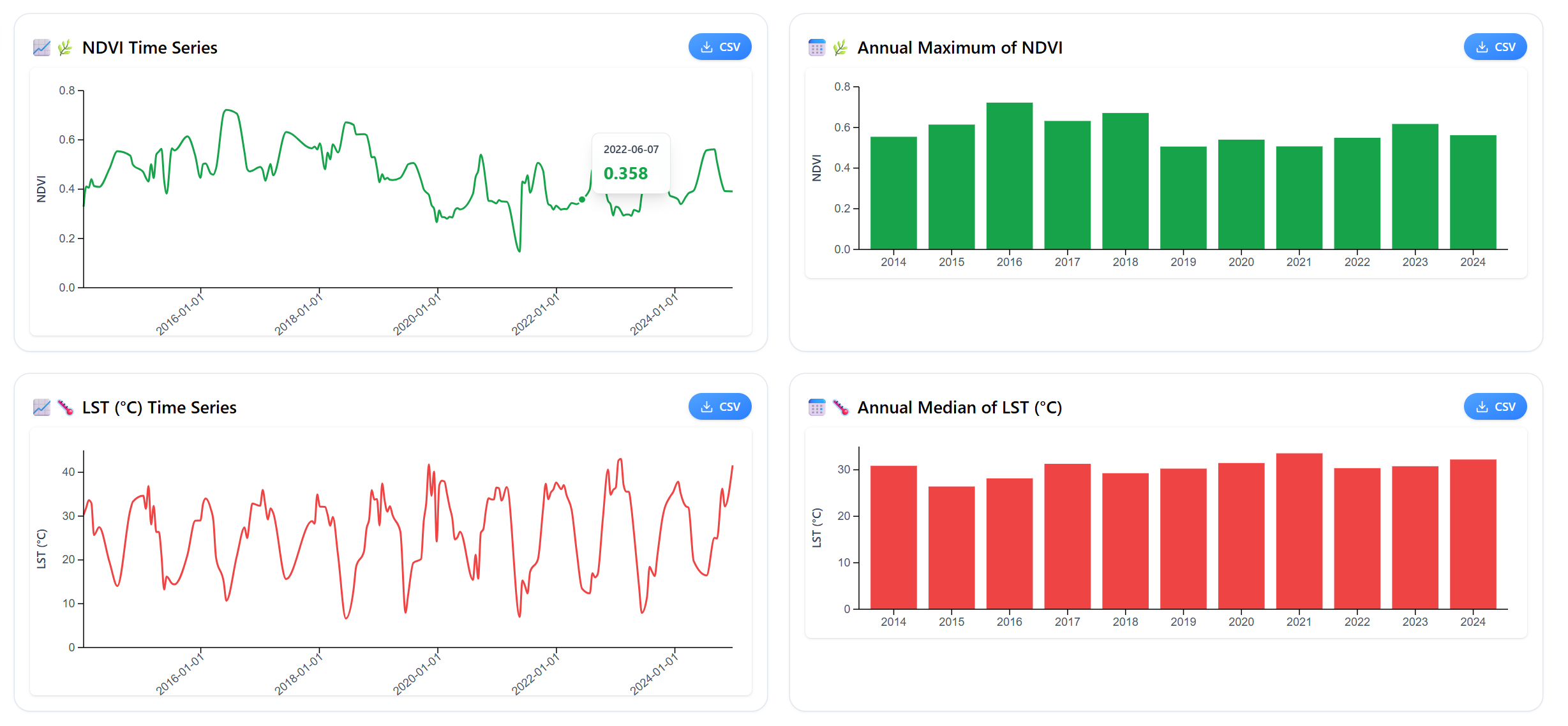

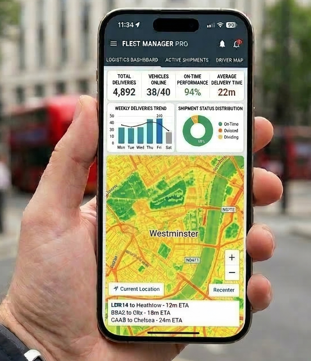
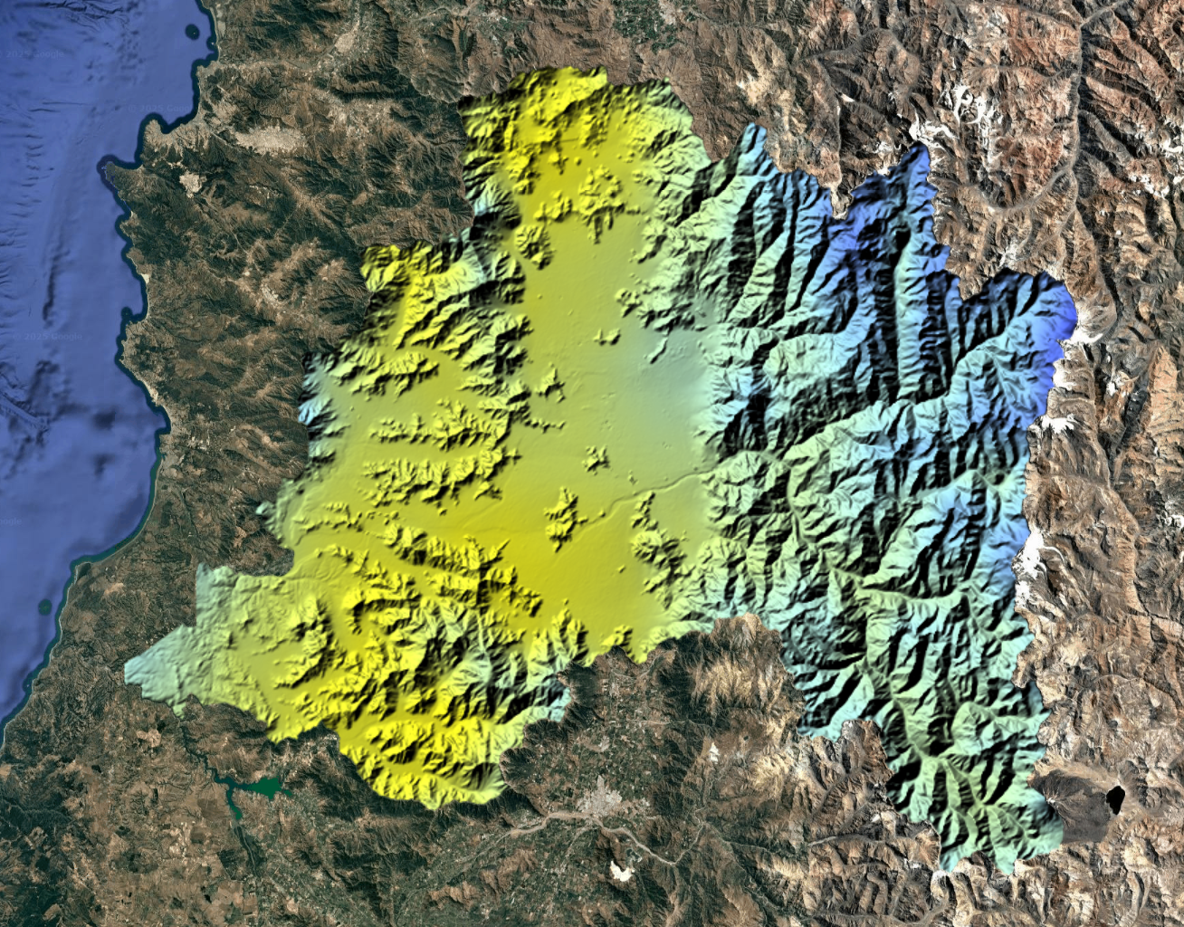
Dynamic dashboards with filters, customizable charts, and visual exploration of large databases. Transform complex information into clear visualizations that facilitate decision-making.

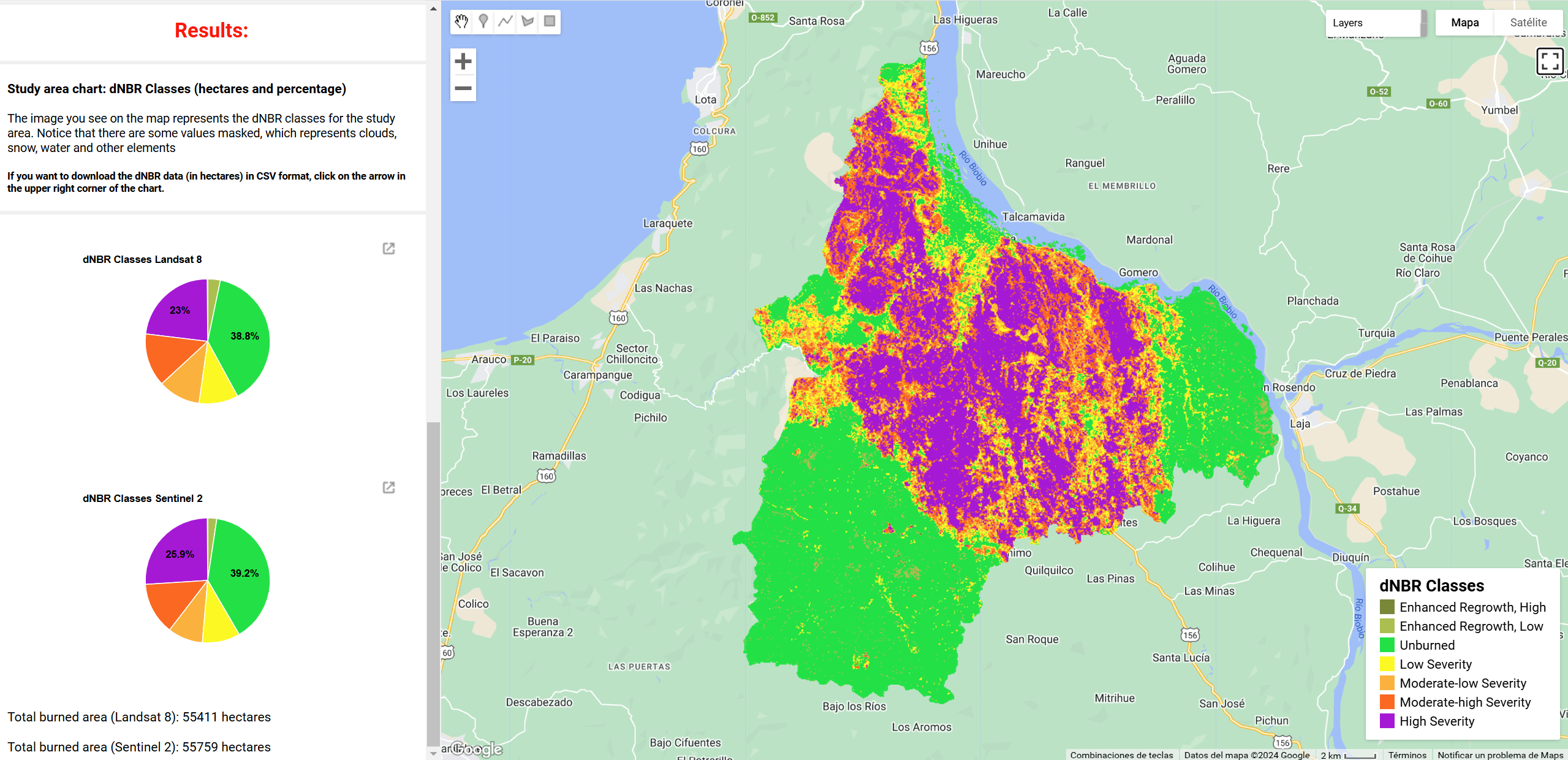
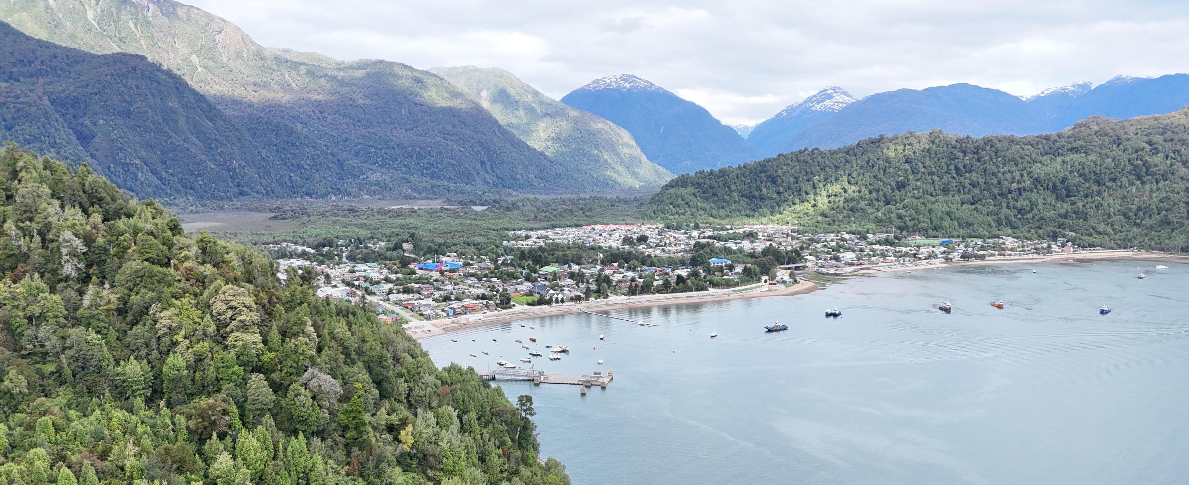
Monitor the territory automatically with satellite imagery and receive alerts when critical changes are detected, without manual intervention.
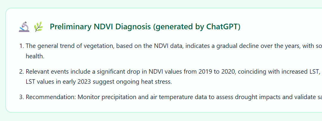
Connect your app with ChatGPT or Gemini so they can analyze the data and results directly from the platform. Get quick diagnostics and automated reports without leaving the application.

Every app is optimized to work seamlessly on desktops, tablets and phones. Access your data and visualizations from anywhere, at any time.
Your data is securely stored in the cloud, with Google authentication to ensure reliable access. Only authorized people can access your organization's information.
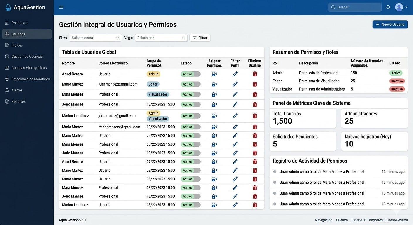
Manage your own app autonomously. With the admin panel you can control your team's access, manage users and configure permissions without depending on us.

Aurora App-Center
Aurora App-Center is the gallery where we showcase the web applications we have developed to explore environmental data, satellite imagery and territorial models. See real examples of what we can build for your organization.
Let's discuss your needs and design the perfect solution for your organization together.
Get a quote for your custom App