
We use advanced statistical techniques and spatial modelling to analyse ecological and hydroclimatic patterns, helping to improve decision-making and supporting research and conservation projects.
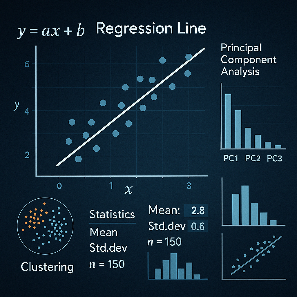
Every analysis is tailored to your data and research objectives. From regressions and mixed models to time series and simulations, we apply the techniques that best fit your problem.
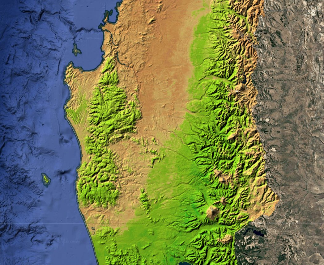
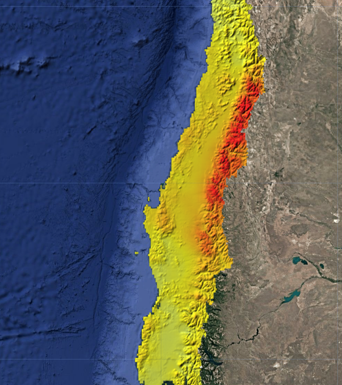
Generate high-resolution predictive maps to model the spatial distribution of key environmental variables in your study area. We combine geostatistical techniques with machine learning models to maximise prediction accuracy.
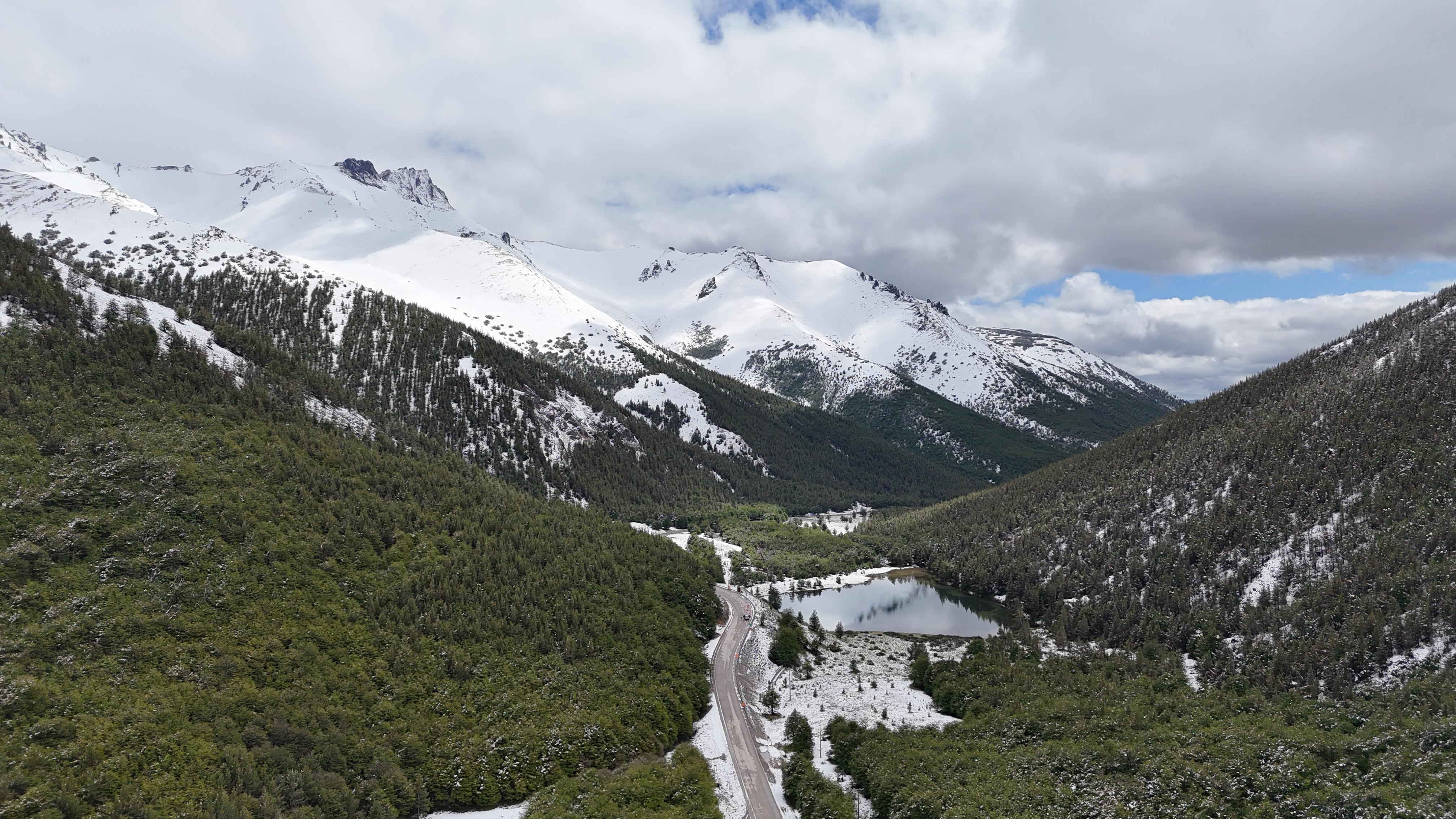
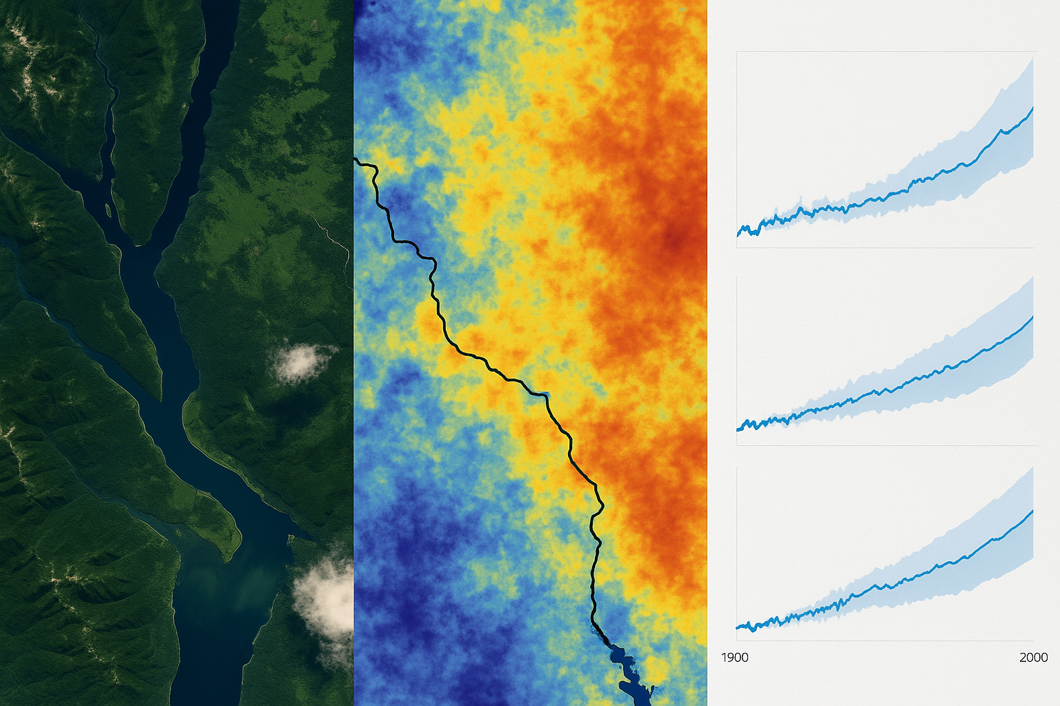
Analyse watersheds, precipitation, temperature and evapotranspiration. Assess droughts and future climate change impacts with high-resolution spatial data.
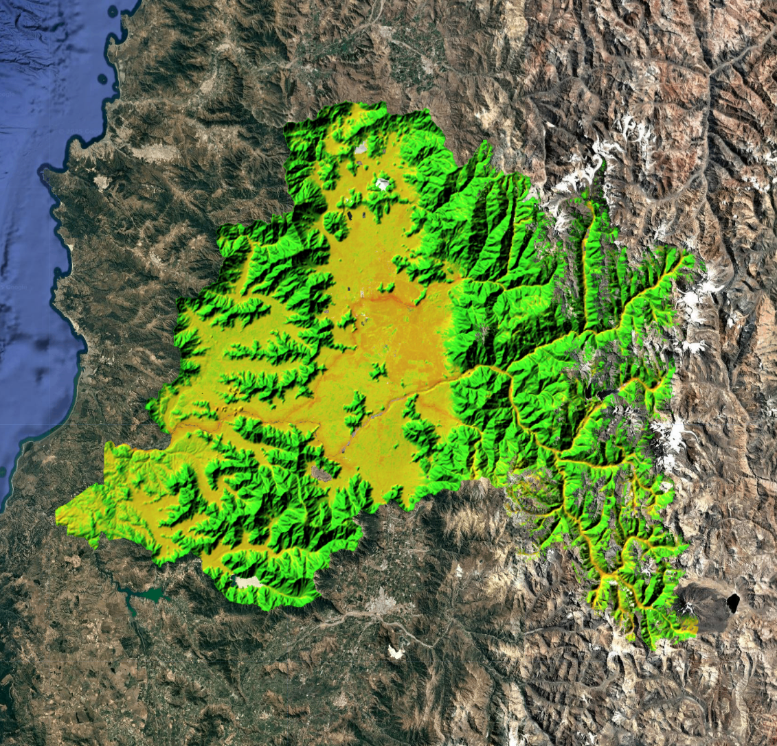
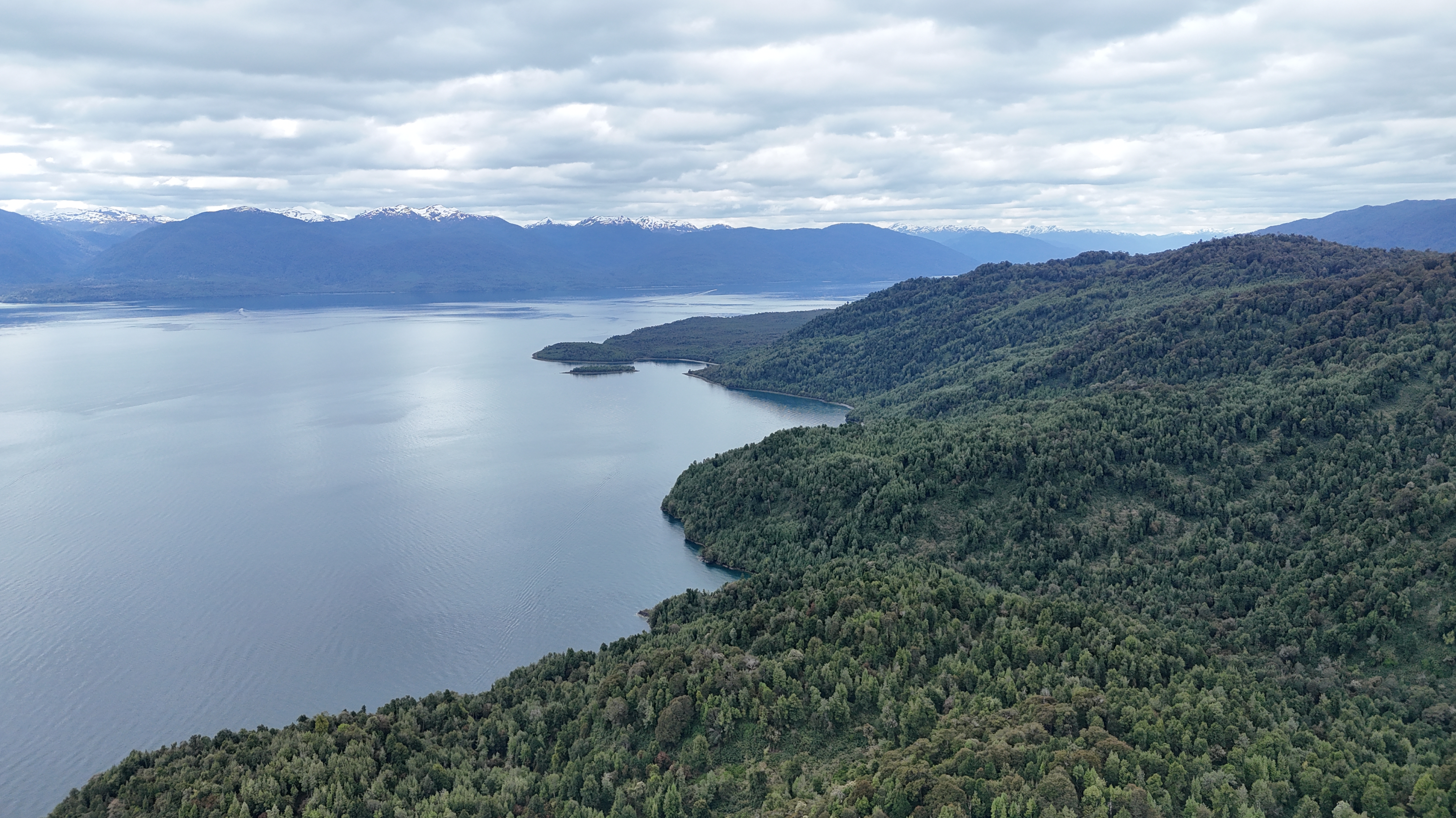
Generate susceptibility maps for floods, erosion, wildfires and droughts. Spatial information for prevention and territorial planning.
Project how your territory will change under different climate scenarios. Downscaling of hydroclimatic variables and bias correction of Global Climate Models to obtain projections at a local scale.
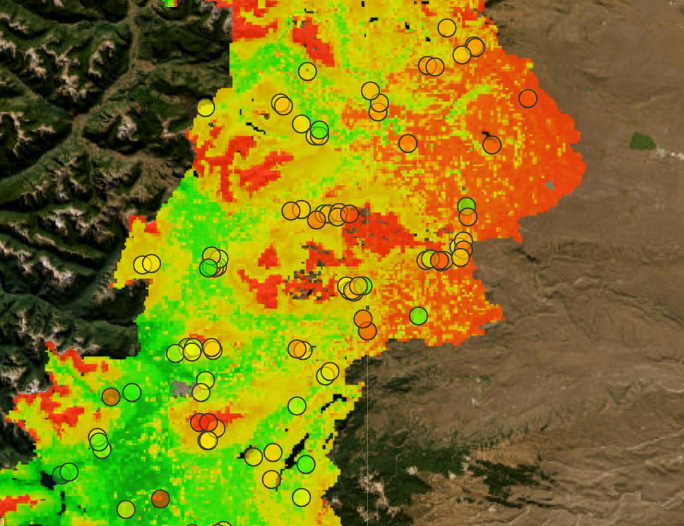
Spatial interpolation and autocorrelation analysis to transform point data into continuous surfaces with uncertainty estimates. We also integrate machine learning models to enhance spatial predictions. Ideal for mapping environmental variables from field sampling.
Let's discuss your data and objectives to design the analysis your project needs.
Get a quote for your custom analysis